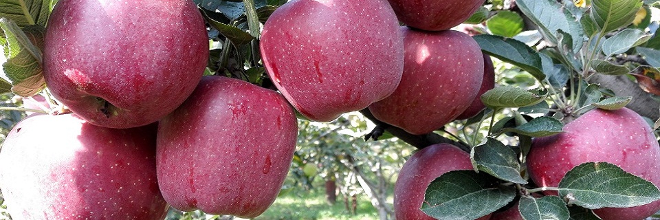
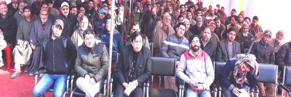
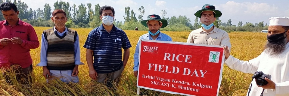
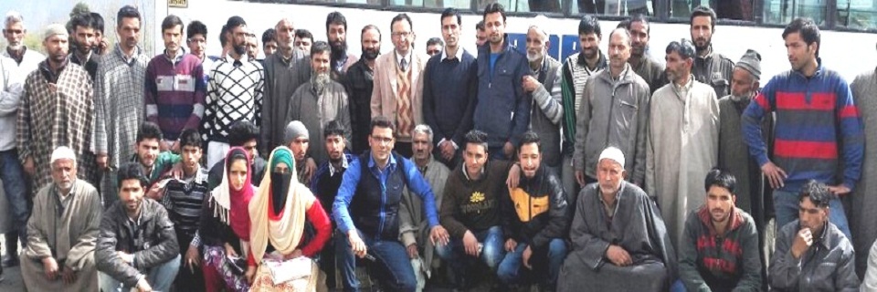
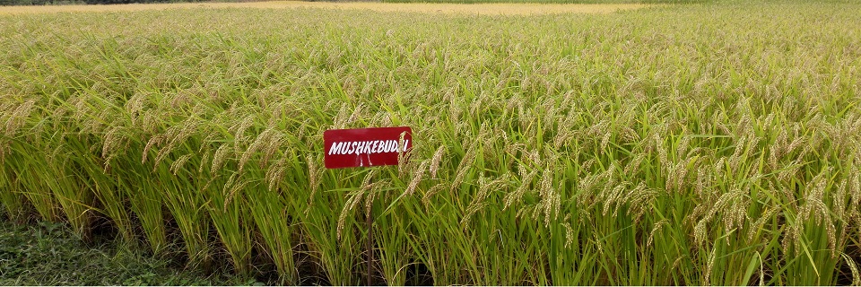
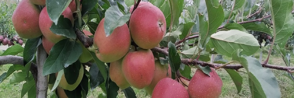
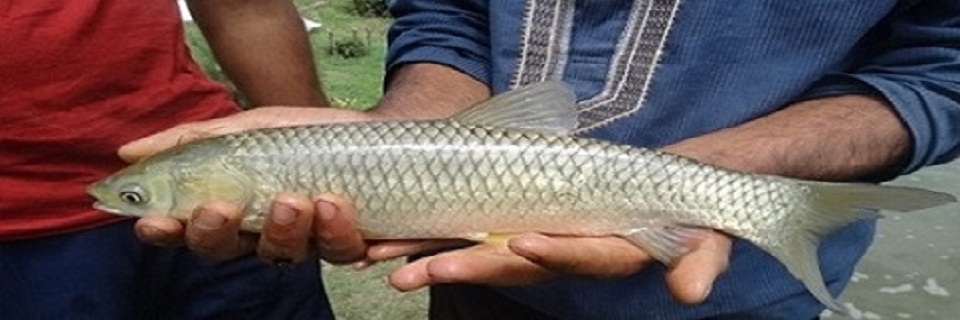
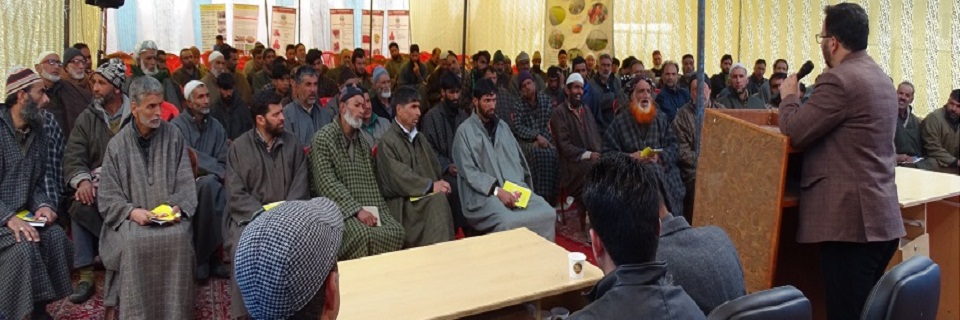
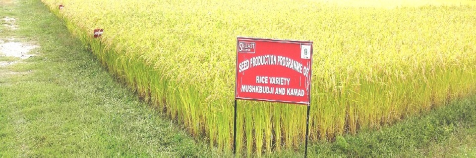
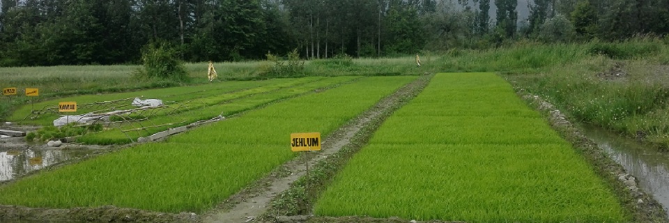
High quality apple production at Kulgam. Hon'ble Vice-Chancellor visiting KVK Farmers participating in the Kisan Mela at KVK Worthy Director Extension interacting with the Scientists Arial view of High-density apple plantation at KVK Farmers at KVK visit from different areas of Kulgam Seed Production cum demonstation plot at KVK Scientist/farmer interation programme Silver-corp at KVK trainee's fish pond Director ATARI at KVK campus Paddy seed production programme at KVK Modified nursery for paddy

District Kulgam at a Glance

  • Kulgam (District Headquater) is situated at a distance of about 68 kms from Srinagar and about 17 kms from Anantnag. Geograhically, the district lies between 330 –15’ North Latitudde and 740-35’ East longitude bounded in the East and North by Anantnag and Shopian districts respectively. It is also bounded by Reasi, Ramban & Rajouuri Districts in the South and South west though separated by mighty and majestic mountainous range of Pirpanjal acting as a massive topographic physical protection. The District has road connectivity with its neighboring districts like Shopain, Pulwama, Anantnag and Ramban etc, besides being linked with far flung areas of the district by a dependable road network. Nallah Veshav, which drains from northern face of Pir Panjal, is the main left bank tributary of river Jehlum and traverses through District Kulgam. Before confluence of Veshu with the Jehlum, it gets broken off into a number of channels providing drinking water facilities to vast population of the district and irrigation facilities to huge tracks of the agricultural land of the district.
  • In 2011, Kulgam had population of 424,483 of which male and female were 217,620 and 206,863 respectively. In 2001 census, Kulgam had a population of 394,026 of which males were 202,578 and remaining 191,448 were females. There was change of 7.73 percent in the population compared to population as per 2001. In the previous census of India 2001, Kulgam District recorded increase of 32.77 percent to its population compared to 1991.

    • It has 03 sub-Districts
    • 07 Major Towns
    • 231 Villages with 21 Nayabats : Kulgam, Qaimoh, Mirhama, Yaripora, Devsar, Chowgam, D H Pora, Nagam, Pahloo, Lammer, Katrasoo, Ashmuji, Tangmarg, Chimmer, Chambgund, Kilam, Khull, Balsoo, KB Pora, Manzgam and Nowbugh Kund
    • Seven Tehsils - Kulgam, Devsar , Damhal Hanjipora, Pahloo, Yaripora, Frisal and Qoimoh
    • 11 Community Development Blocks, viz. Kulgam, D H Pora, Pahloo, Devsar, Qaimoh (partly), Kund, Manzgam, D K Marg, Pombay, Frisal and Behibag
    • 07 Municipal Committees: 1. Ashmuji Khalsa, 2. Devsar, 3. Frisal, 4. Kulgam 5. Mehmood Pora, 6. Quimoh, 7. Yari Pora
    • 11 Community Development Blocks, viz. Kulgam, D H Pora, Pahloo, Devsar, Qaimoh (partly), Kund, Manzgam, D K Marg, Pombay, Frisal and Behibag

    Vital District Statistics

    Geographical Area Forest Area Total Cultivated Area Irrigated Area Un-Irrigated Area Area under Paddy Area under Maize Area under Vegetables Area under Pulses Area Under Fodder Area under Oilseed
    1067 Sq. Km. 440.78 Sq. Km 27070.05 Hectares 17910.69 Hectares 9159.36 Hectares 11324 Hectares 7487 Hectares 3000 Hectares 2430 Hectares 410 Hectares 7674 Hectares

    Population Statistics

    Description 2011 2001
    Population 4.24 Lakhs 3.94 Lakhs
    Actual Population 424,483 394,026
    Male 217,620 202,578
    Female 206,863 191,448
    Population Growth 7.73% 32.77%
    Area Sq. Km 410 410
    Density/km2 1,035 862
    Proportion to Jammu and Kashmir Population 3.38% 3.88%
    Sex Ratio (Per 1000) 951 945
    Child Sex Ratio (0-6 Age) 885 885
    Average Literacy 59.23 44.40
    Male Literacy 69.59 55.25
    Female Literacy 48.49 32.79
    Total Child Population (0-6 Age) 71,501 71,501
    Male Population (0-6 Age) 37,929 37,929
    Female Population (0-6 Age) 33,572 33,572
    Literates 209,085 0
    Male Literates 125,052 0
    Female Literates 84,033 0
    Child Proportion (0-6 Age) 16.84% 18.15%
    Boys Proportion (0-6 Age) 17.43% 18.72%
    Girls Proportion (0-6 Age) 16.23% 17.54%